GIS and Immersive Content for Operational Digital Twins
GIS and Immersive Content for Operational Digital Twins
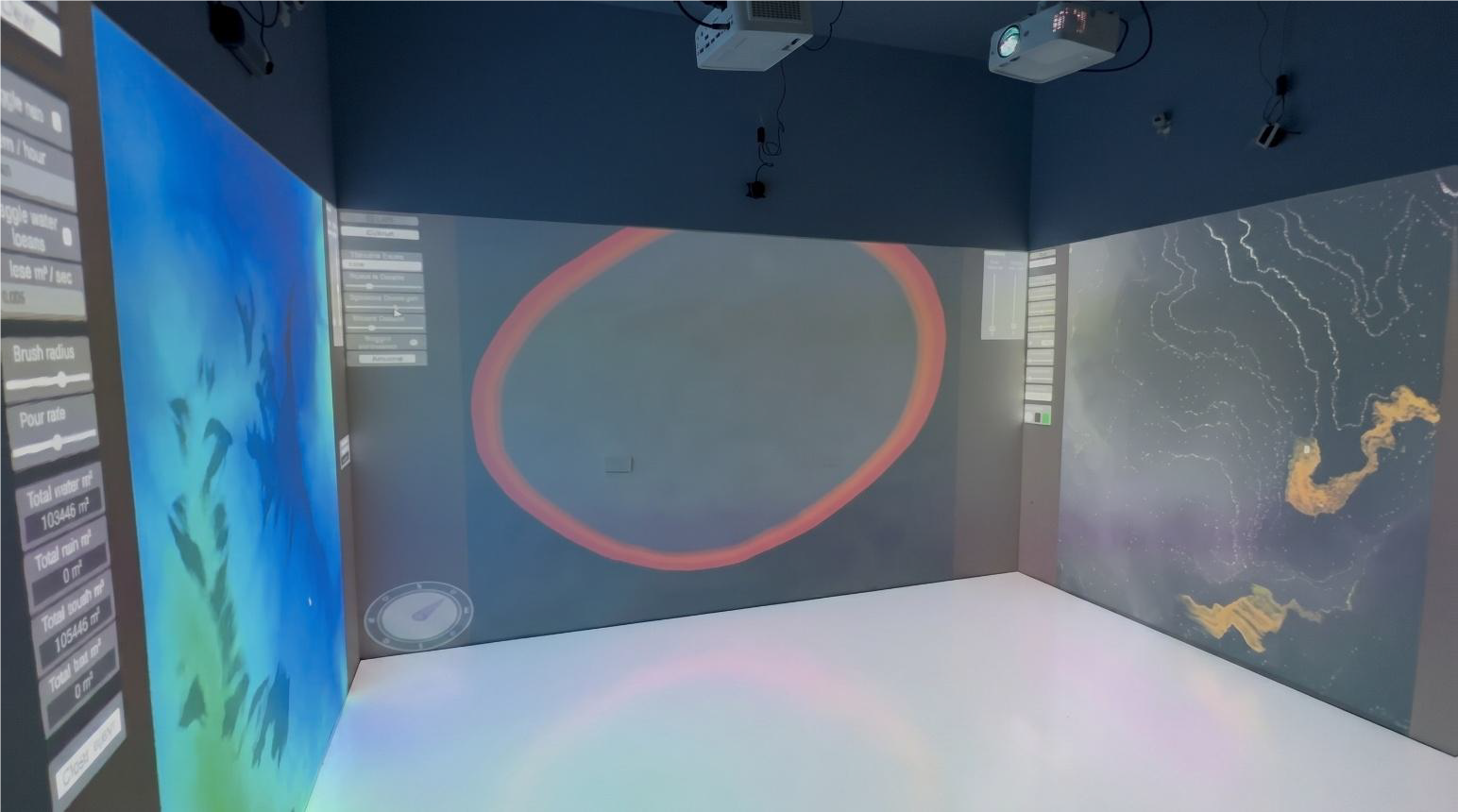
A geospatial visualization and immersive content solution for presenting terrain, GeoTIFF data, environmental scenarios, and interactive simulation inside shared projection spaces.
- GIS data visualization and terrain preview
- Water, rain, fire, wind, and pollution scenarios
- Useful for planning, research, emergency response, and environmental training