
Many organizations still rely on flat 2D maps and spreadsheets to understand their sites and assets, which makes planning, analysis, and field-scenario training harder than it needs to be. ASFAN combines geographic information system (GIS) data with immersive content and augmented reality to build an operational digital twin that can be explored visually and interactively.
This helps government bodies, infrastructure companies, universities, and urban and environmental planning centers in Jordan understand their sites, terrain, and operational data more clearly than traditional maps allow.
What is an operational digital twin?
An operational digital twin is an interactive digital replica of a real site or facility that combines geospatial and operational data. Instead of a static map or diagram, a team can explore the site visually, simulate the surrounding terrain and environment, and monitor or analyze data without being physically on-site.
What ASFAN adds on top of standard GIS data
ASFAN doesn't just display geospatial data on a flat map. It also adds:
1. Terrain and environment simulation
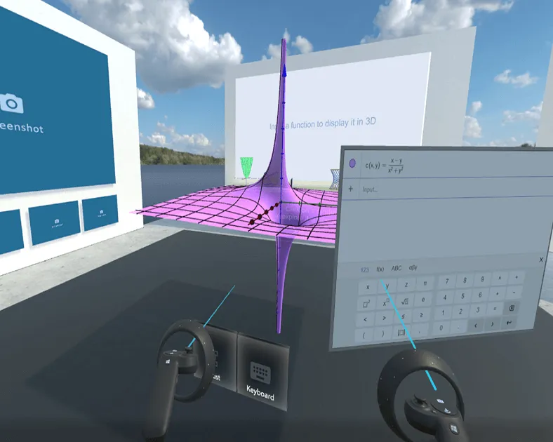
Visualizing terrain and sites in accurate 3D instead of traditional flat maps.
2. Immersive rooms and content
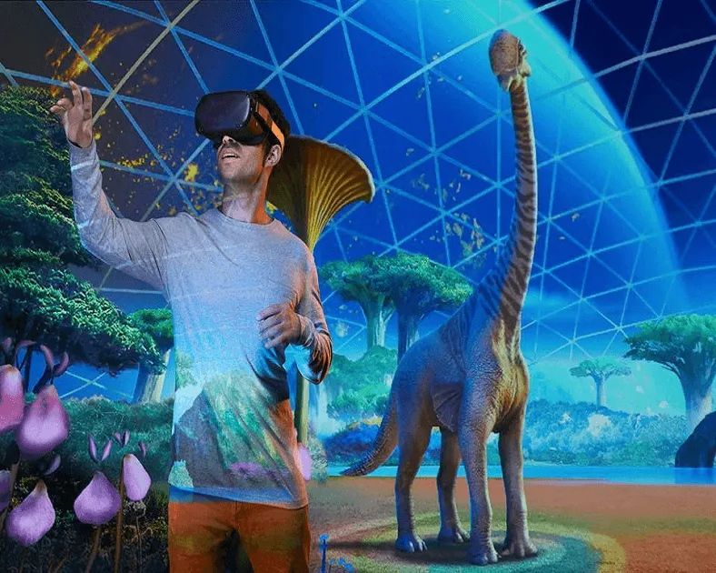
Exploring geospatial data inside an interactive immersive environment that supports training and presentations.
3. Augmented reality GIS
Overlaying geospatial data directly onto the real-world environment to improve on-site situational awareness.
4. Updatable interaction
Updating the data and digital twin as the project, plans, or operational status of the site changes.
Who benefits from GIS and digital twin solutions?
- Government bodies responsible for urban planning or land management
- Infrastructure and utility companies (water, energy, telecom)
- Universities and geospatial or environmental research centers
- Environmental planning and natural resource management centers
- Organizations that need field training tied to a real geographic site
How ASFAN develops GIS and digital twin solutions
ASFAN typically develops these projects through a practical process that includes:
- Understanding the organization's available geospatial and operational data
- Defining the digital twin's goals (planning, monitoring, training, presentation)
- Designing the immersive environment and terrain simulation
- Integrating GIS data layers and augmented reality
- Testing and refinement
- Delivery and support for future updates
Why ASFAN?
ASFAN stands out in this space through:
- Combining GIS data, immersive content, and augmented reality in one solution
- Arabic and English language support
- Regional experience in digital twin and geospatial simulation projects
- The ability to customize the solution to each organization's data and goals
This makes ASFAN a strong development partner for organizations looking for both geospatial and technical expertise.
Frequently Asked Questions
What is an operational digital twin?
An interactive digital replica of a real site or facility that combines geospatial and operational data, enabling monitoring, analysis, and planning without being physically on-site.
What's the difference between standard GIS and ASFAN's immersive solutions?
ASFAN adds a layer of immersive content and augmented reality on top of traditional GIS data, so terrain and geospatial data can be explored visually and interactively instead of relying only on flat 2D maps.
Who benefits from GIS and digital twin solutions?
Government bodies, infrastructure and utility companies, universities and research centers, and urban or environmental planning centers.
Can the solution be customized to an organization's specific data?
Yes. ASFAN builds the solution based on the organization's own geospatial and operational data and goals.
Conclusion
GIS and operational digital twin solutions have become a practical way for organizations in Jordan to understand their sites and geospatial data more clearly and interactively than traditional maps allow. If your organization is looking for a better way to visualize geospatial data or build a digital twin of an operational site, ASFAN can design the right solution for your needs.
See the full service details on ASFAN's GIS and Immersive Content page.
Related solutions
GIS and digital twin solutions can be paired with ASFAN's other immersive and augmented reality solutions.
Request a proposal for GIS and digital twin solutions
Contact ASFAN to request a technical and financial proposal for GIS and operational digital twin solutions.
Contact ASFAN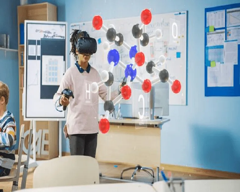
Client & Visitor Reviews
Share your experience, feedback, or opinion about this page content.
Write a Review
Latest Reviews